1. GIS Base Data Service
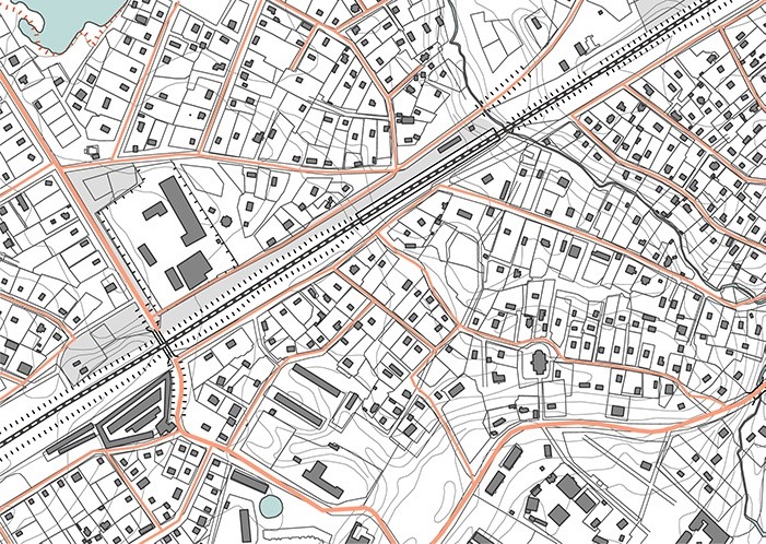
1.1 Cadastral / Land Base / Topo Data / Land use & Land cover Mapping
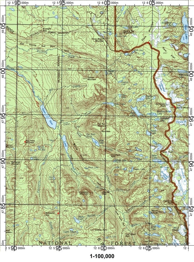
4.1.1.1 Topographical Mapping
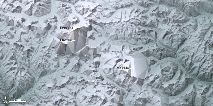
Topography concerns the shape and character of the Earth's surface, and maps were among the first artifacts to record these observations. In modern mapping, a topographic map or topographic sheet is a type of map characterized by large-scale detail and quantitative representation of relief, usually using contour lines (connecting points of equal elevation), but historically using a variety of methods. Traditional definitions require a topographic map to show both natural and artificial features.[2] A topographic survey is typically based upon systematic observation and published as a map series, made up of two or more map sheets that combine to form the whole map. A topographic map series uses a common specification that includes the range of cartographic symbols employed, as well as a standard geodetic framework that defines the map projection, coordinate system, ellipsoid and geodetic datum. Official topographic maps also adopt a national grid referencing system.
These maps depict in detail ground relief (landforms and terrain), drainage (lakes and rivers), forest cover, administrative areas, populated areas, transportation routes and facilities (including roads and railways), and other man-made features.
Other authors define topographic maps by contrasting them with another type of map; they are distinguished from smaller-scale "chorographic maps" that cover large regions, "planimetric maps" that do not show elevations, and "thematic maps" that focus on specific topics.
However, in the vernacular and day to day world, the representation of relief (contours) is popularly held to define the genre, such that even small-scale maps showing relief are commonly (and erroneously, in the technical sense) called "topographic".
The study or discipline of topography is a much broader field of study, which takes into account all natural and man-made features of terrain.
History
Topographic maps are based on topographical surveys. Performed at large scales, these surveys are called topographical in the old sense of topography, showing a variety of elevations and landforms.[8] This is in contrast to older cadastral surveys, which primarily show property and governmental boundaries.
2. LiDAR
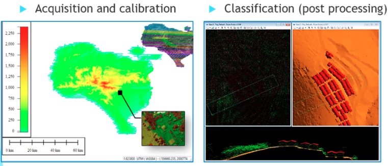
LiDAR is a scanning and ranging laser system that produces accurate Digital Terrain Models that can be used for ortophoto production . With the ability to “see through the trees,” LiDAR has the capability to provide accurate surface modeling in places never before possible. Because of its thin beam of light, LiDAR is small enough to shoot between branches on trees and reach the ground, returning data with centimeter precision.
While flying over the project area, a laser sweeps back and forth across the ground scanning the surface and its features. After making contact with the ground, the beam energy returns to the aircraft, producing point data as well as infrared images. After all the data is collected, it is processed into a point-derived image. Each point, which is 3-dimensional, can be viewed in any direction desired, providing a 3D representation of a scene. This gives the ability to look at a segment vertically, sideways, or to rotate the canvas for different views. All of this data can be processed in a matter of weeks (for large areas), unlike manual photogrammetric techniques that require a longer completion time.
2.1. LiDAR Services
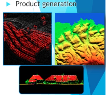
- 3D model generation of features
- Surface and land use classification
- Terrain extraction, bare earth modeling and data filtering
- Advanced detection and extraction of buildings or other specific features
- Generation of elevation profiles, Digital Surface Models (DSM) and Digita Terrain Models (DTM) as raster, TIN, contour or slope models
- Building Classification and 3D feature generation
- Vegetation Classification (High, Medium and Low vegetation)
- Electric Tower Classification and Wire detection
2.2. Deliverables
- DTM (Digital Terrain Model)
- DSM (Digital Surface Model)
- Building Vector Data (LOD 1&2)
- Power Line vector data
- 3D Vector data for specific features
- Volumetric Calculations
- Contours and elevation points
- Slope models, watershed, water level rise/flooding simulations etc.
Gallery